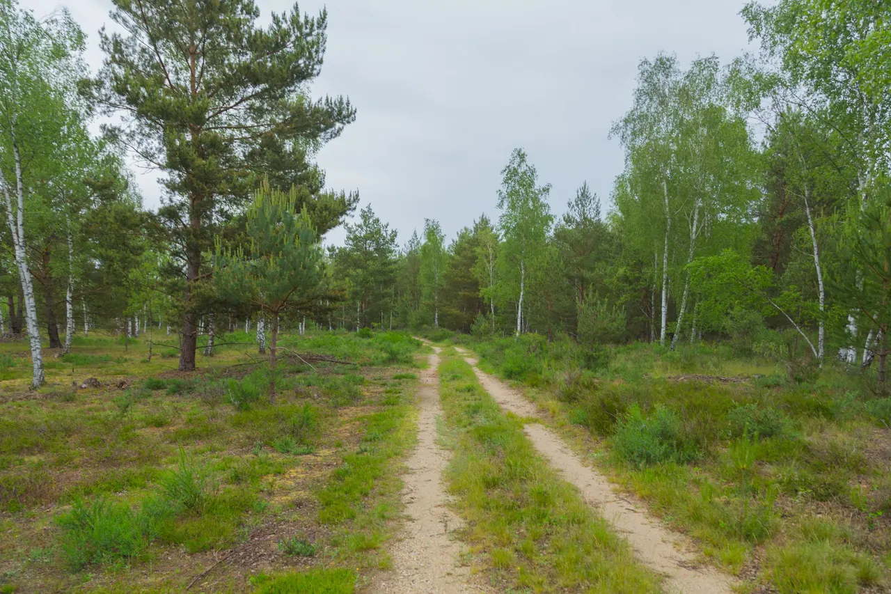
Photo: J.-H. Janßen, CC BY-SA 4.0, Wikimedia Commons

Curve derived from a beech tree-ring chronology near Leipzig, 1871–2013 (NOAA ITRDB).
Interactive map
The map shows trails, viewpoints and current closures. It is never the sole source of information — every map element is also available below as an accessible, keyboard-operable list.
Trails
- Beispielweg Gohrischheide — 1,1 km View details
- Beispielweg Heideloipe Königsbrücker Heide — 1,6 km View details
- Beispielweg Königsbrücker Heide — 2,8 km View details
Viewpoints
Current closures
- Beispielsperrung Königsbrücker Heide — BEISPIELINHALT — z. B. wegen Wegebauarbeiten (Platzhaltergrund). Ein echtes ~400 m Teilstück des Beispielwegs (OSM way 25666528).